- All
- First Author
- To be published
- 2025
- 2024
- 2023
- 2022
- 2021
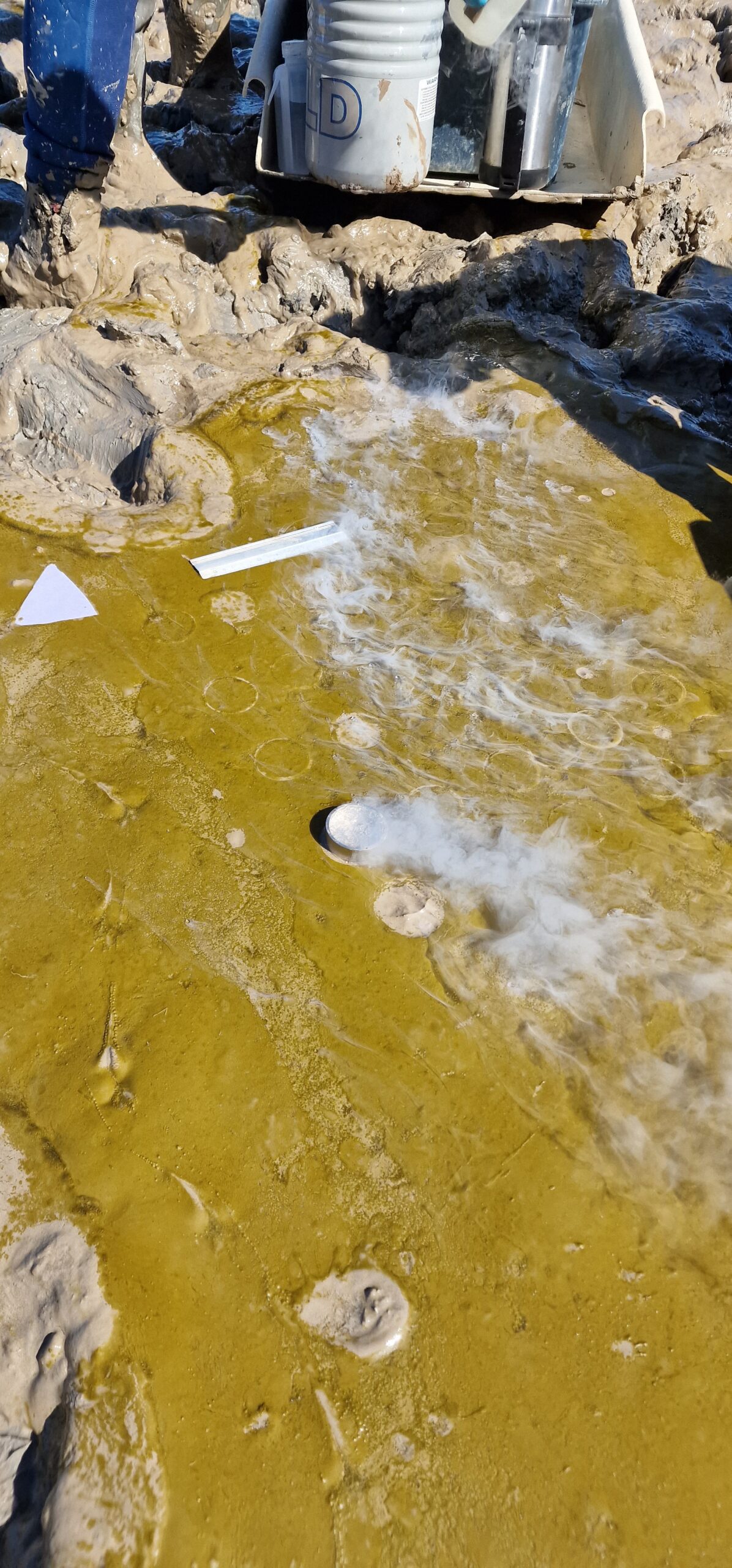
Variability of Kappaphycus alvarezii cultivation in South-Sulawesi (Indonesia) related to the monsoon shift: Water quality, growth and colour quantification
Links between wet monsoon conditions in South Sulawesi, improved Kappaphycus alvarezii growth, and higher ice-ice disease risk
Barillé et al. 2025
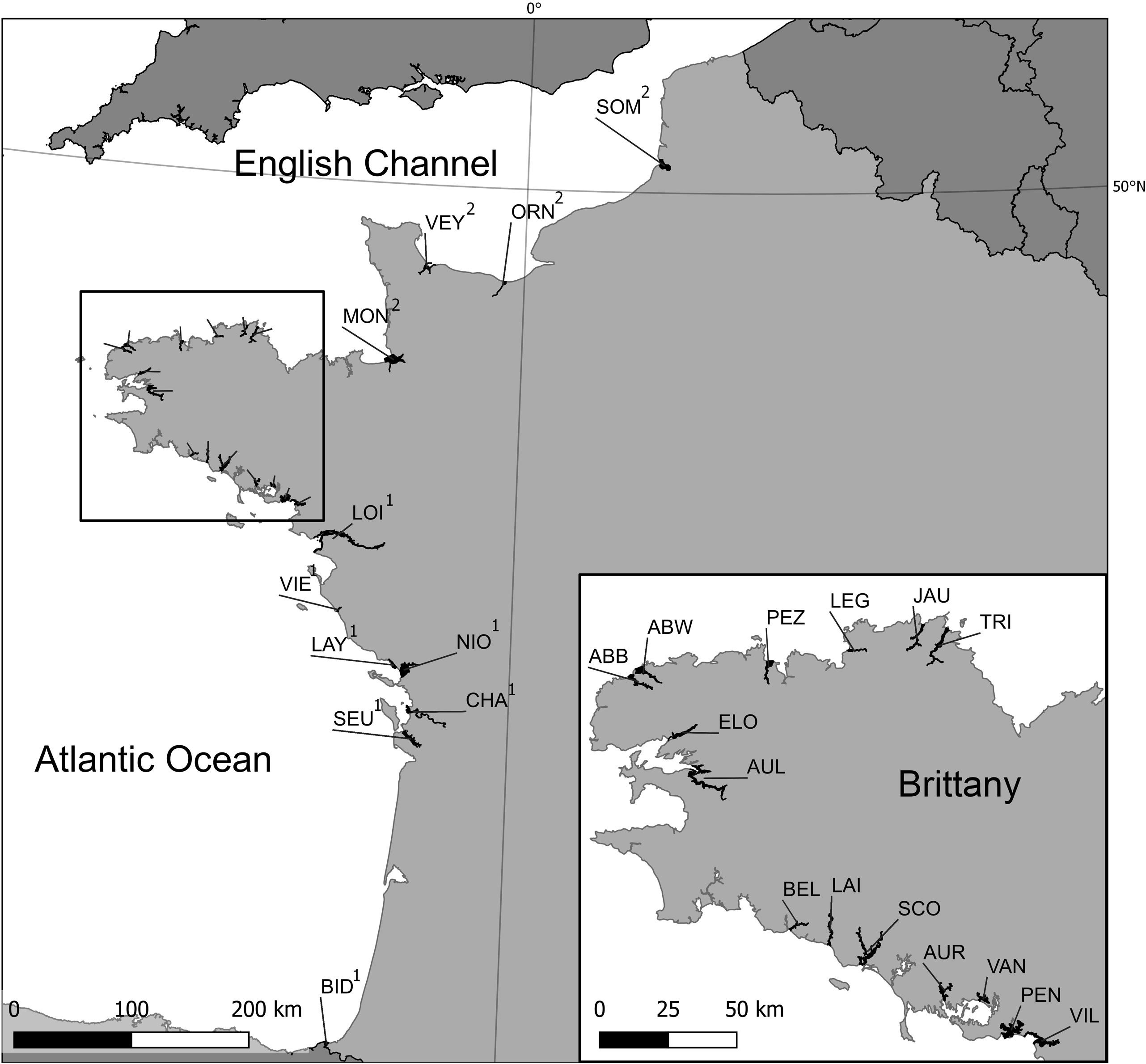
Multi- and hyperspectral classification of soft-bottom intertidal vegetation using a spectral library for coastal biodiversity remote sensing
Spectral classification with multispectral and hyperspectral data accurately maps intertidal vegetation types, aiding coastal biodiversity monitoring.
Davies et al. 2023
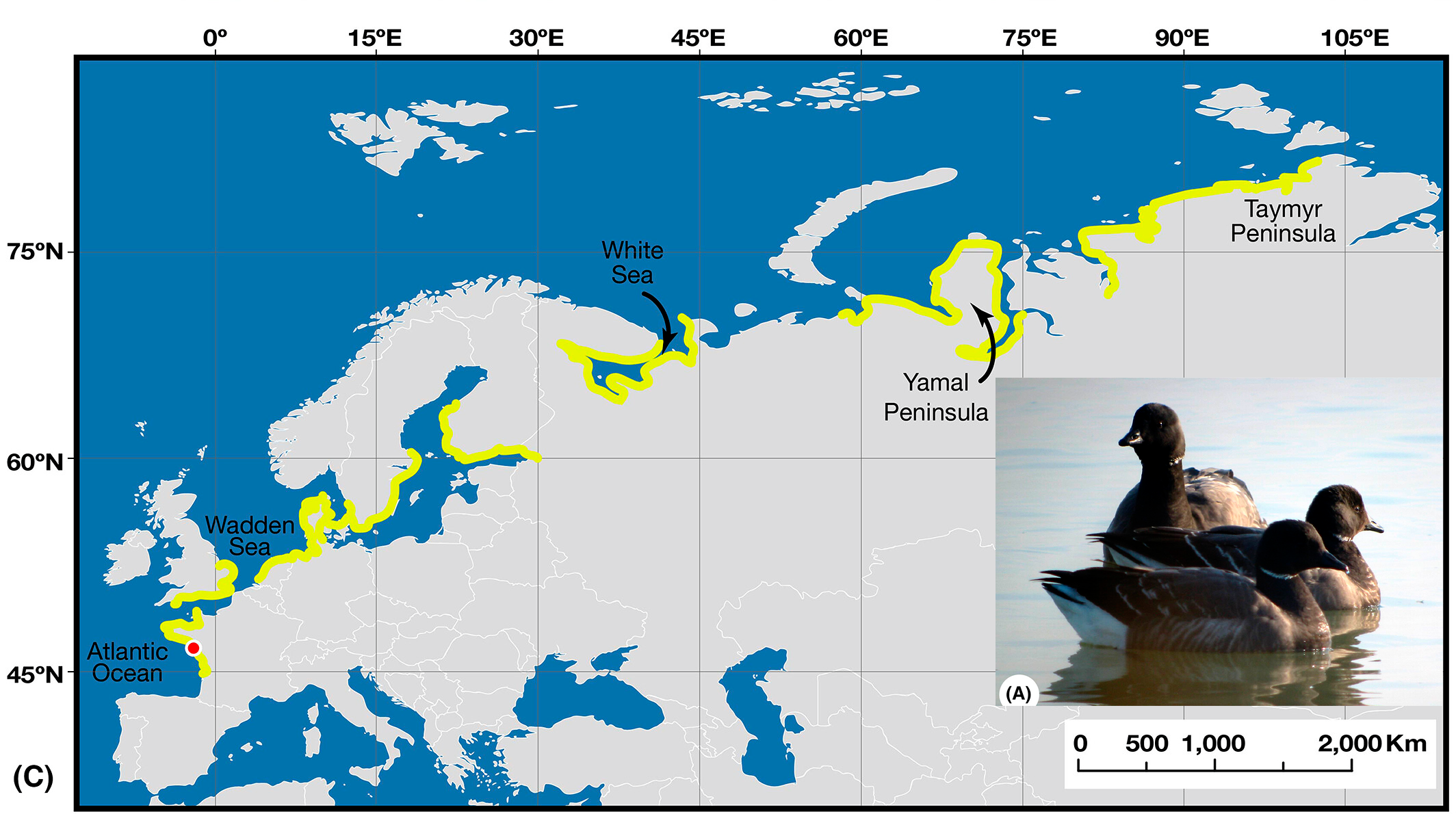
Remote sensing in seagrass ecology: coupled dynamics between migratory herbivorous birds and intertidal meadows observed by satellite during four decades
Decades of satellite data reveal a unique, mutually beneficial relationship between Brent geese and intertidal seagrass meadows, highlighting the importance of conservation for both species.
Zoffoli et al. 2022
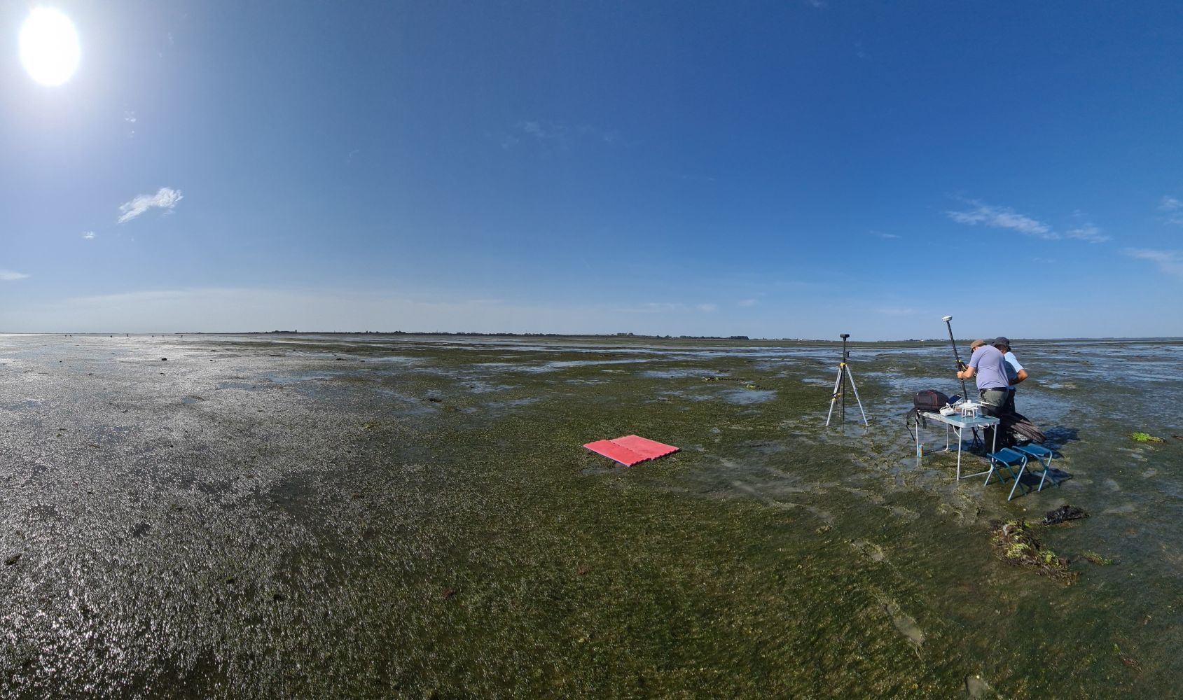
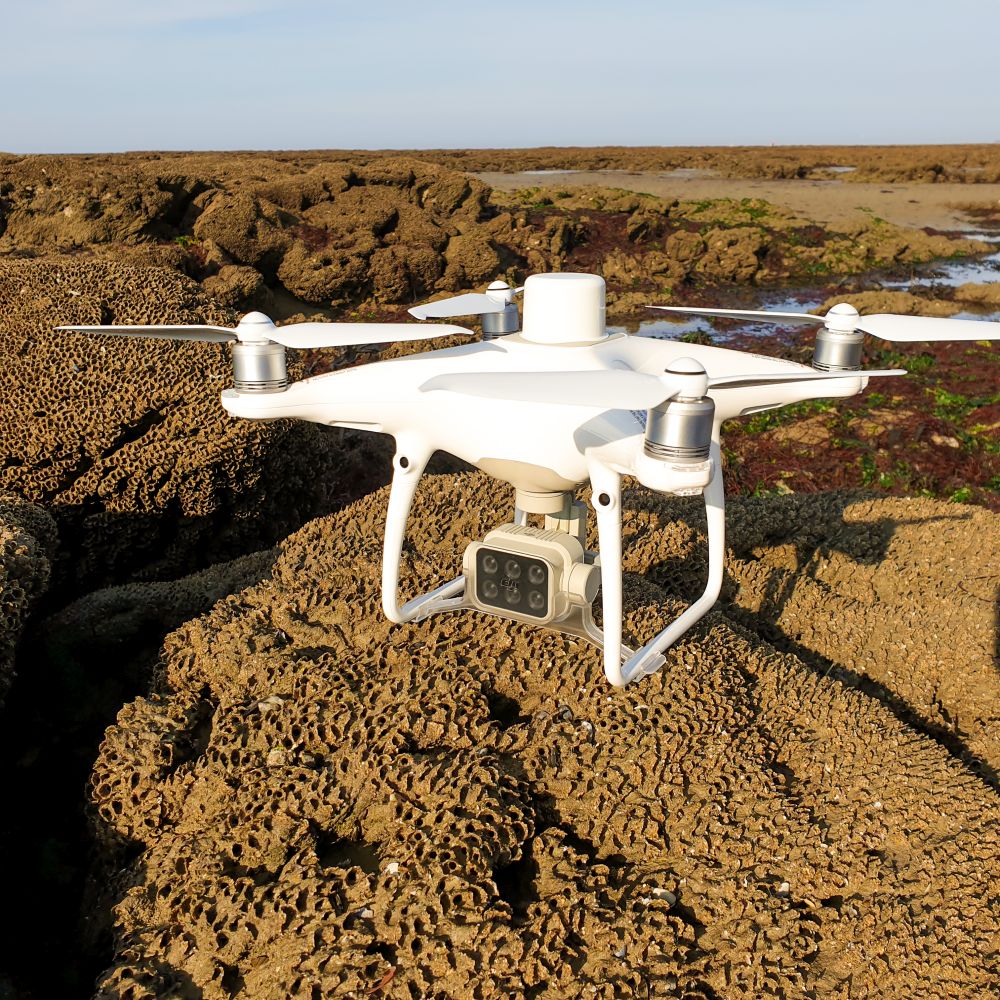
A Machine-Learning Approach to Intertidal Mudflat Mapping Combining Multispectral Reflectance and Geomorphology from UAV-Based Monitoring
Machine learning and UAV mapping enhance accuracy in identifying intertidal mudflat vegetation and habitats, offering a powerful tool for monitoring coastal ecosystems
Brunier et al. 2022
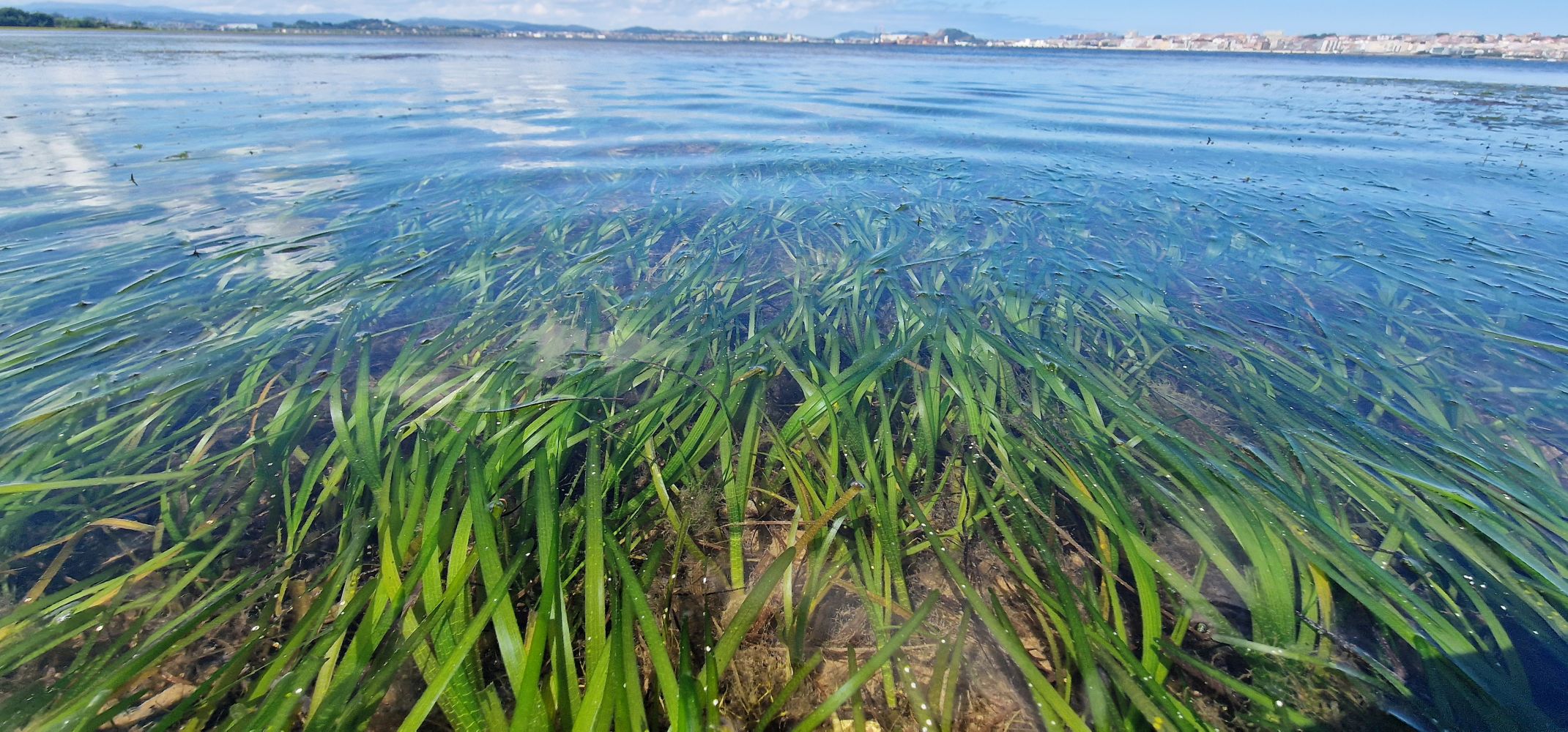
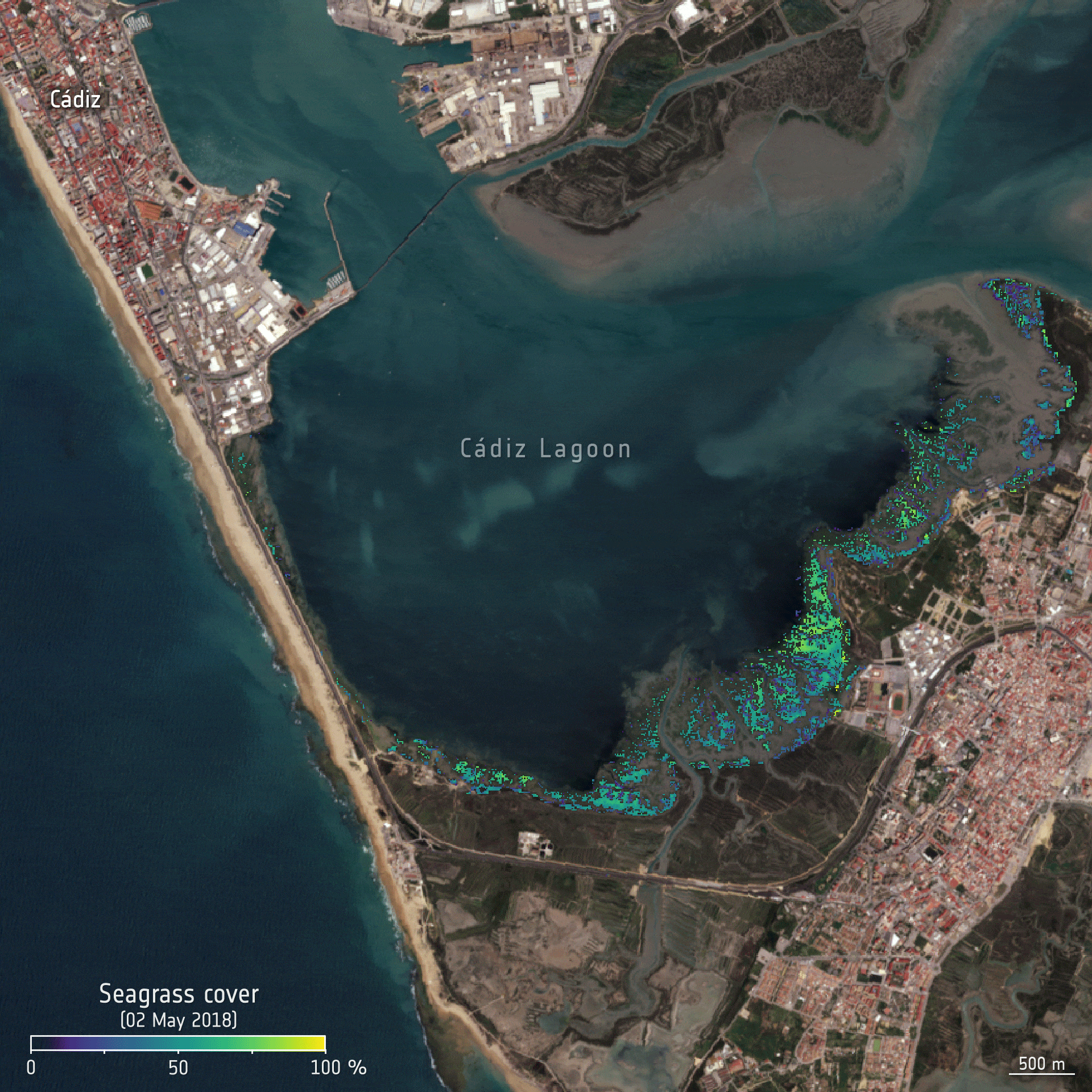
Decadal increase in the ecological status of a North-Atlantic intertidal seagrass meadow observed with multi-mission satellite time-series
Decades of satellite data show recovery trends in seagrass meadows, highlighting remote sensing as a key tool for long-term ecosystem monitoring.
Zoffoli et al. 2021
Microphytobenthos spatio-temporal dynamics across an intertidal gradient using Random Forest classification and Sentinel-2 imagery
High-resolution Sentinel-2 imagery and Random Forest classification reveal intricate seasonal dynamics of microphytobenthos in intertidal zones, enhancing understanding of coastal ecosystem patterns and productivity.
Haro et al. 2021
Using sentinel-2 satellite imagery to develop microphytobenthos-based water quality indices in estuaries
Satellite-based microphytobenthos mapping offers a new, scalable bioindicator for estuarine water quality in French coastal zones, leveraging Sentinel-2 imagery to reveal nutrient-related trends in intertidal ecosystems
Oiry & Barillé, 2021