- All
- First Author
- To be published
- 2026
- 2025
- 2024
- 2023
- 2022
- 2021
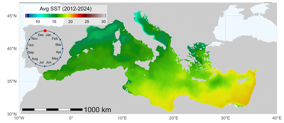
Marine Heatwaves in a warming Mediterranean Sea
A temporal analysis
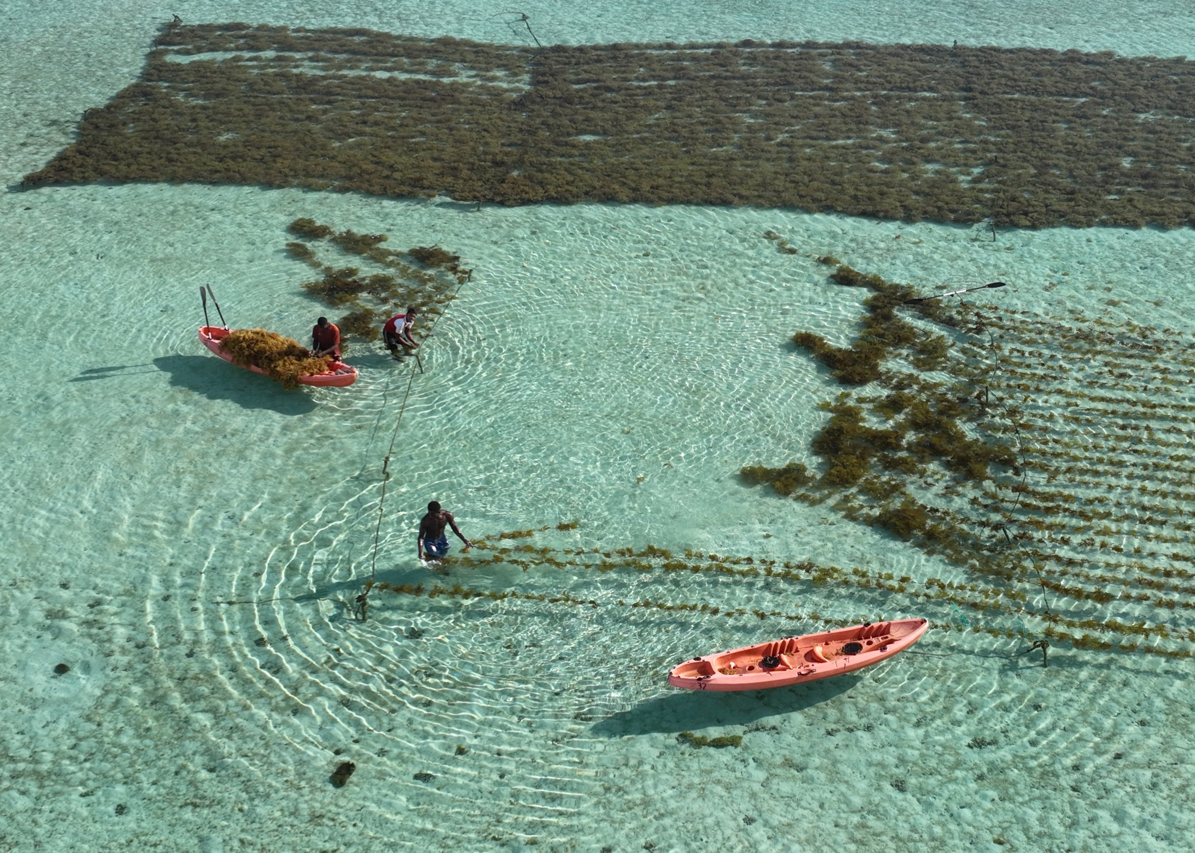
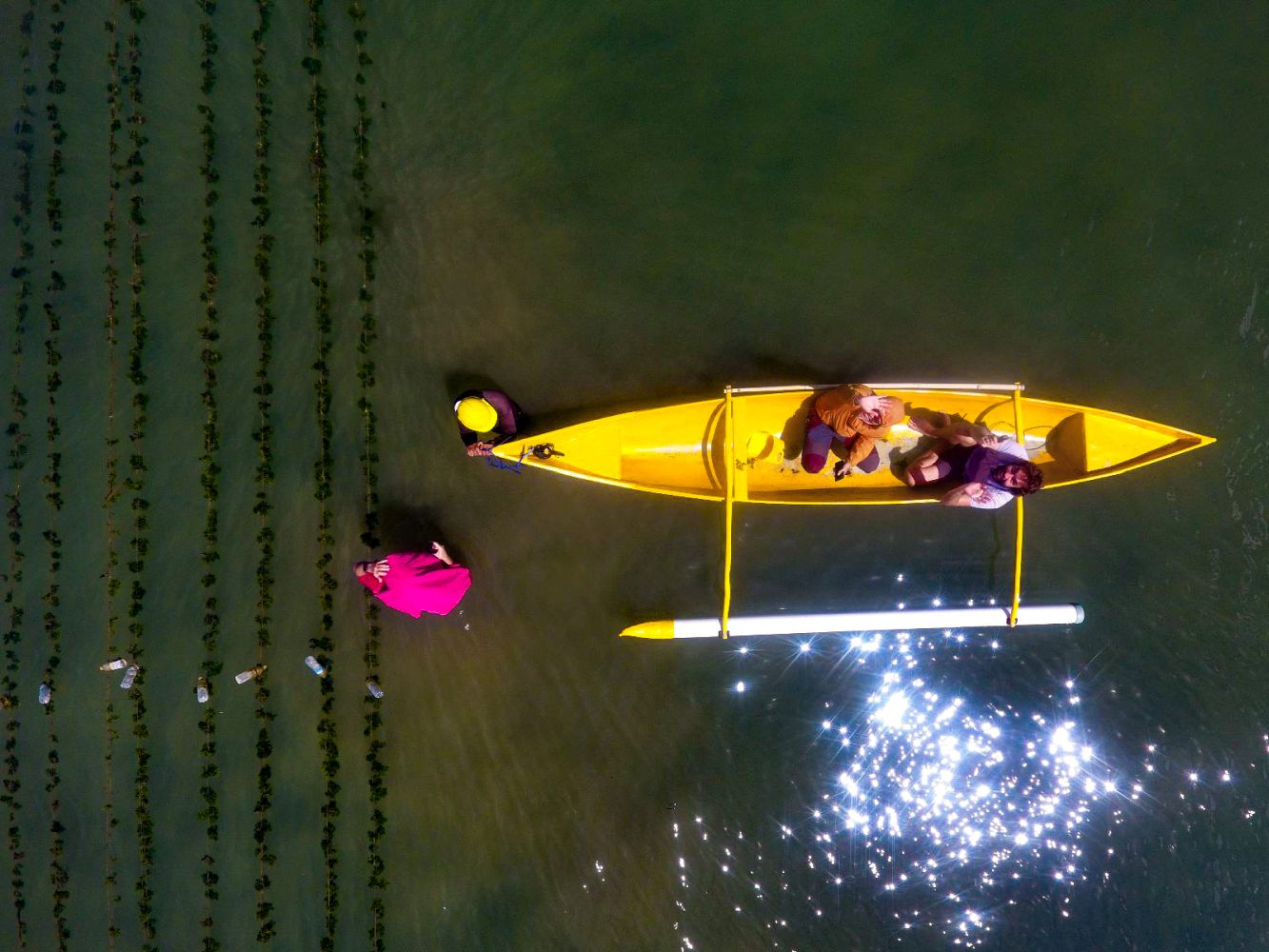
MadaKapPy: A tool for in situ biomass estimation of kappaphycus cultures
Oiry et al. 2026
Estimate harvested biomass before harvesting !
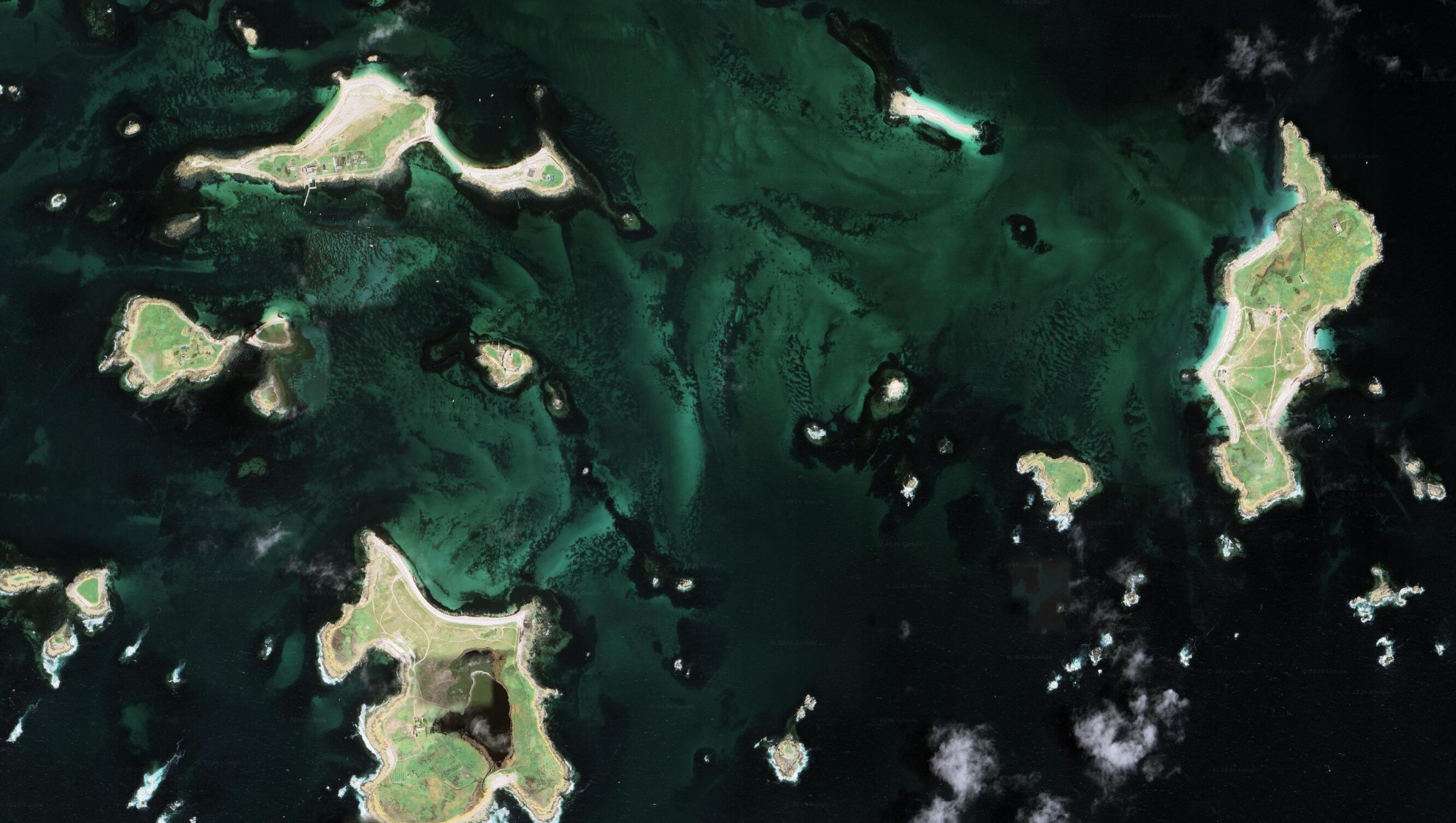
SWIPES: Shallow-Water Inversion and Parameter Estimation from Satellite Sensors
An algorithm for shallow water parameters and substrat retrivial
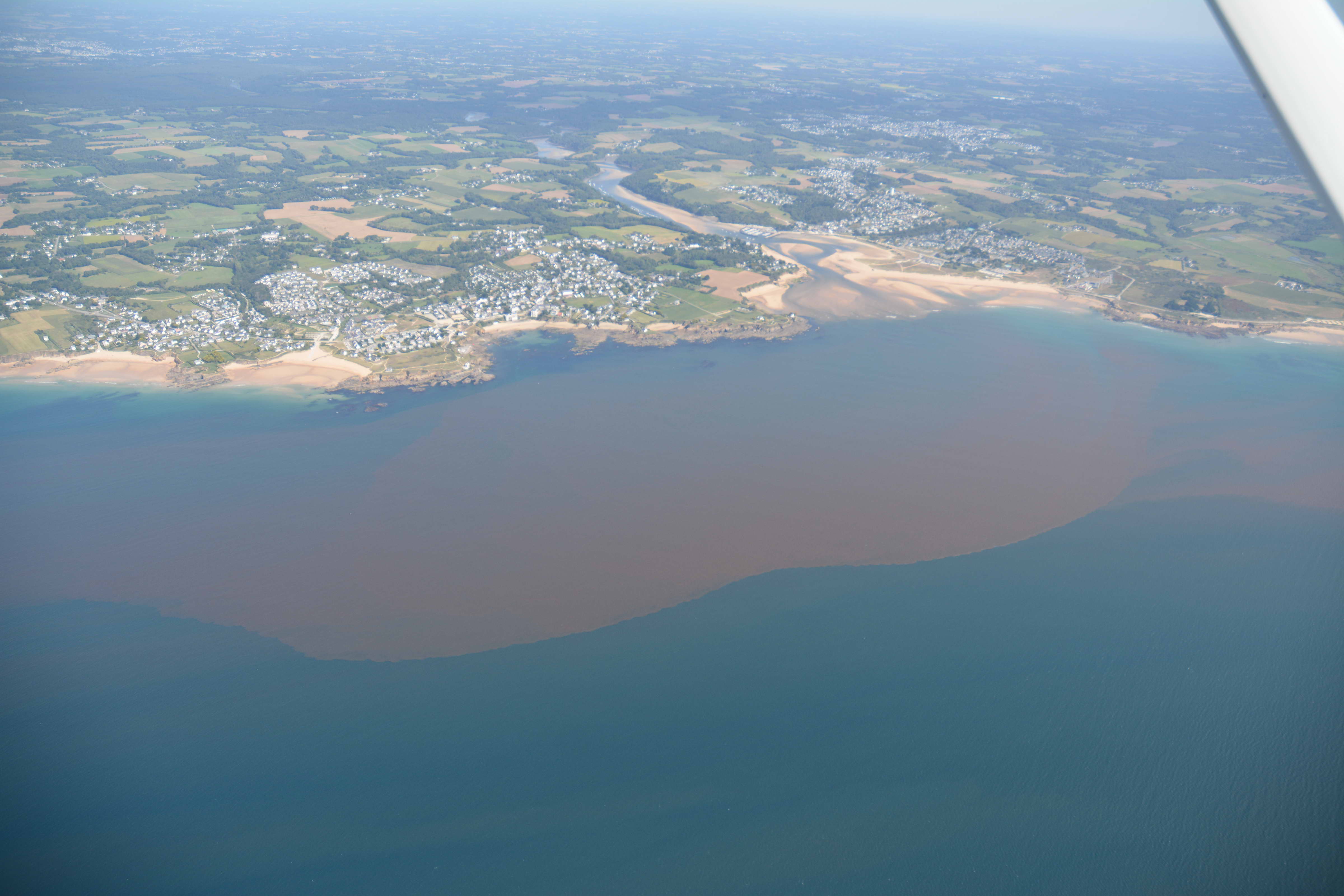
Toward elucidating accessory pigments in intense phytoplankton blooms using hyperspectral satellite remote sensing in support of harmful algal bloom (HAB) monitoring
Zoffoli et al. 2026
Identify pigment in phytoplankton blooms.
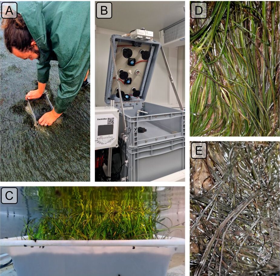
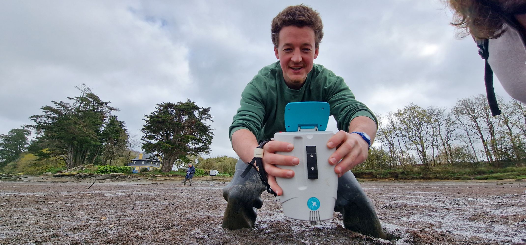
Effect of Marine and Atmospheric Heatwaves on Reflectance and Pigment Composition of Intertidal Zostera noltei
Experimental and in situ measurment of heatwaves effect on seagrasses
Under Review in Remote Sensing of Environment
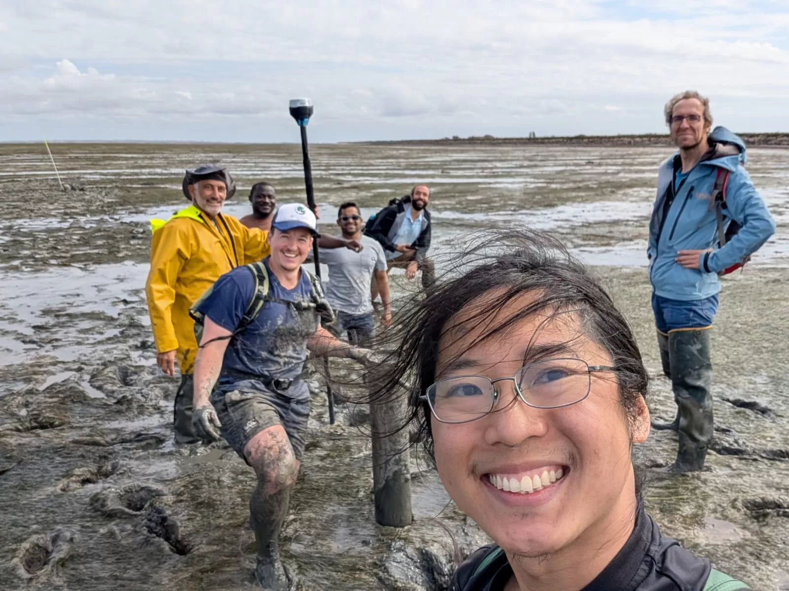
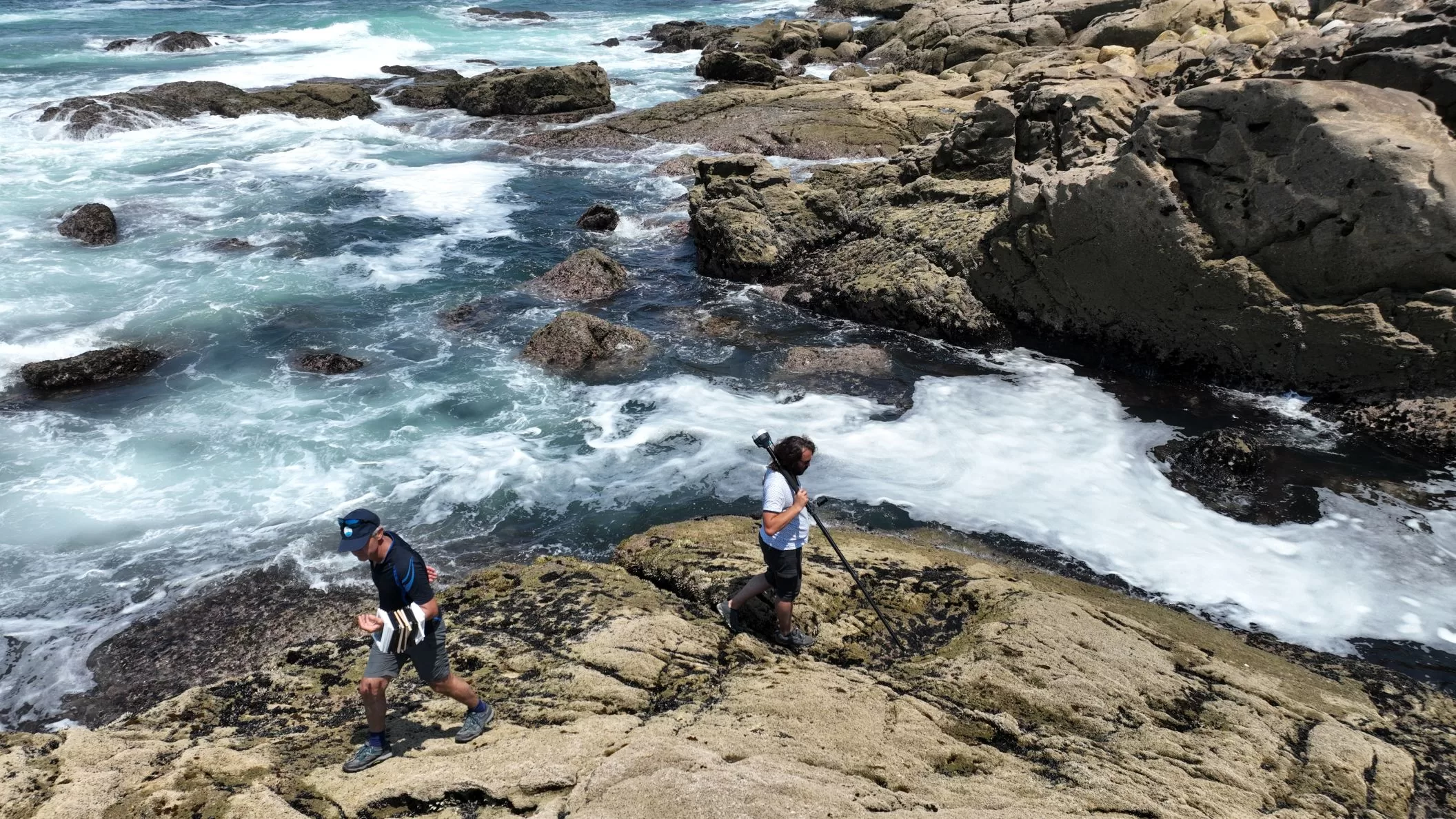
From pixels to peaks: integrating LiDAR and RGB drone imagery to map mussel spat on intertidal rocky shores
Drone-based mapping opens new perspectives for managing wild mussel spat resources.
Roman et al. 2026
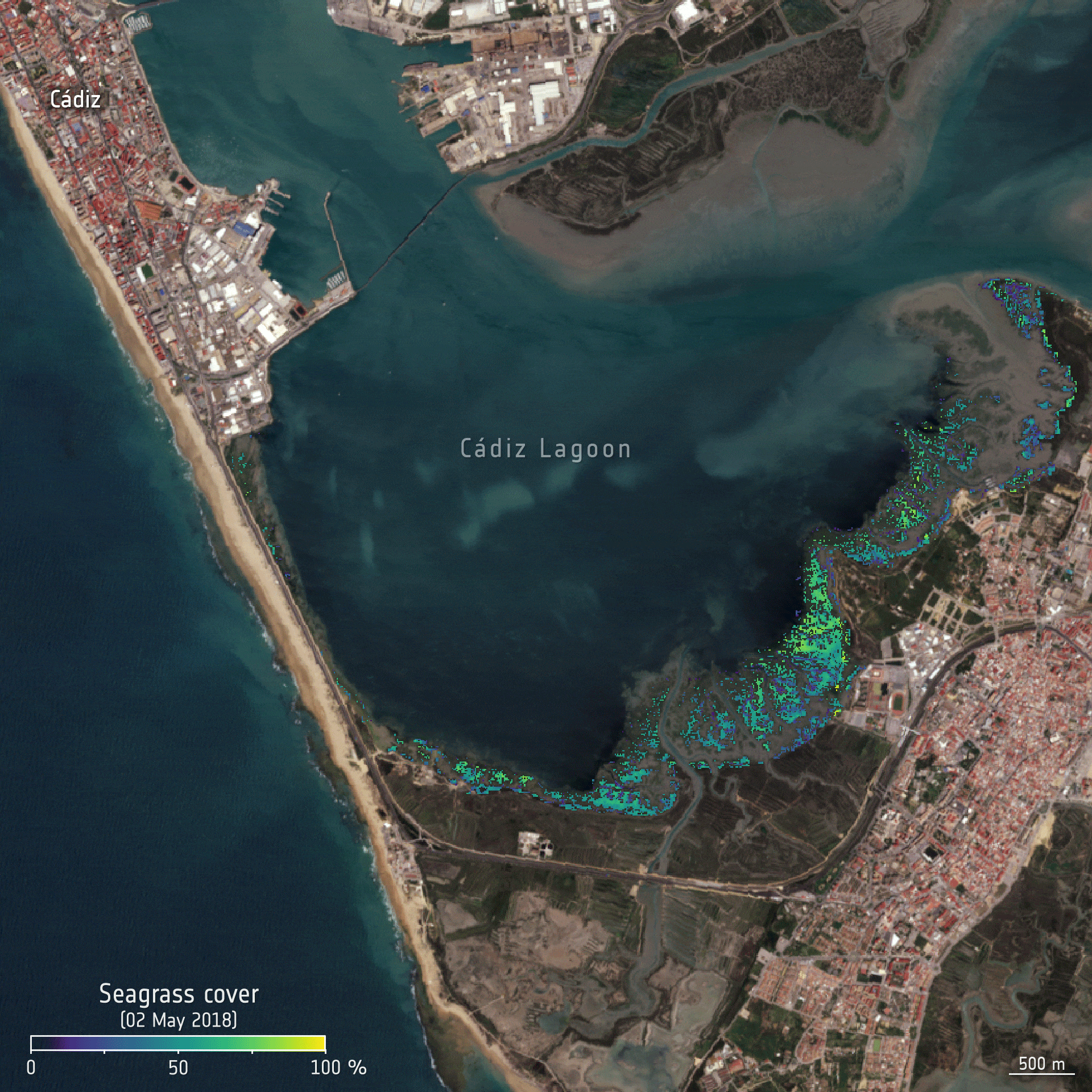
An initial map of European intertidal seagrass
The First map of intertidal seagrass in Europe
Davies et al. 2025
Distribution of the marine invasive alien species Gracilaria vermiculophylla through remote sensing at its first described European site
Applying and Updating DISCOV to map invasive species.
Oiry et al. 2025
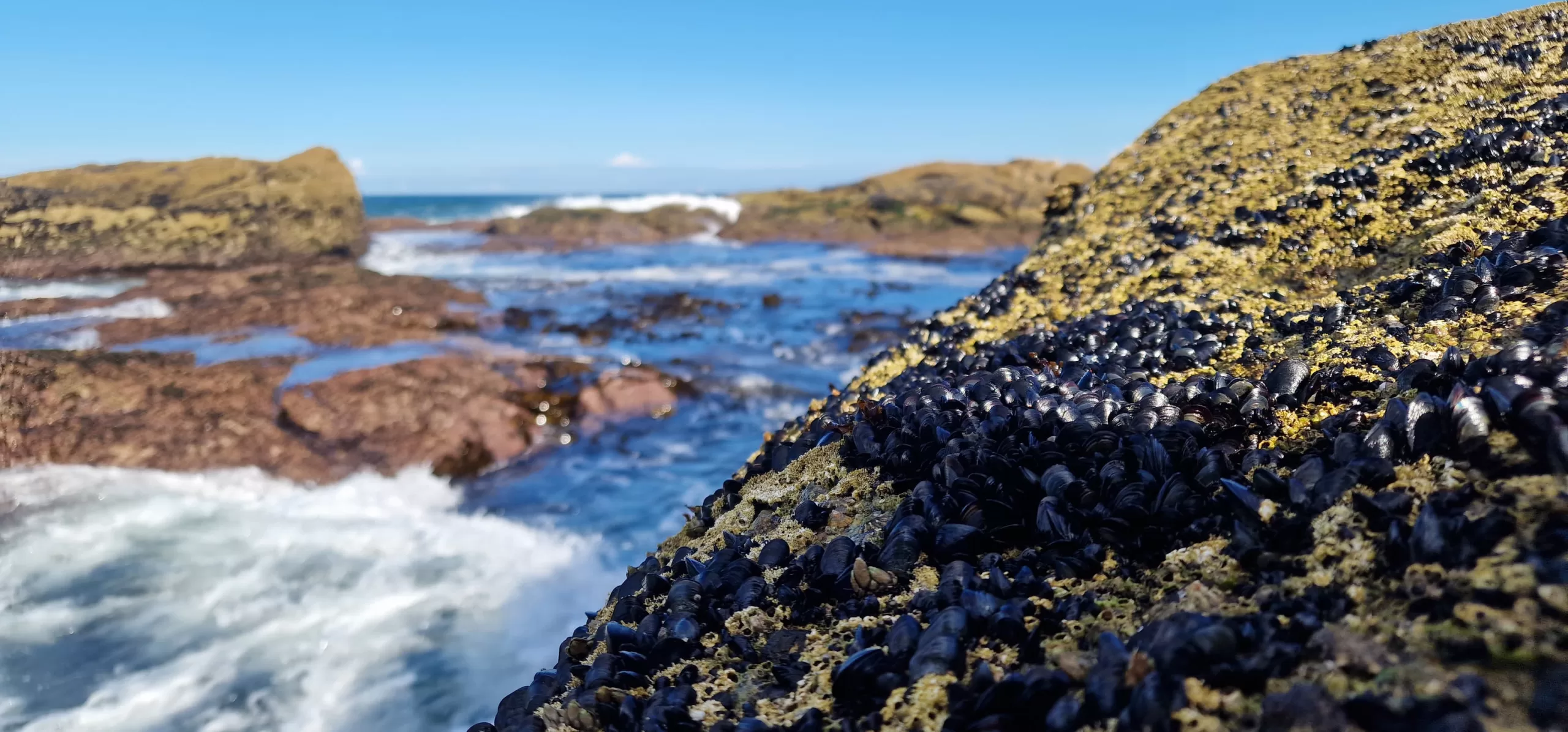
Discrimination of the intertidal goose barnacle Pollicipes pollicipes from rocky shore invertebrates and macroalgae using in situ hyperspectral signatures
Can we identify goose barnacles using remote sensing techniques ?
Roman et al. 2025
Site selection for off-shore macroalgae aquaculture on the French Atlantic coast
Exploring aquaculture possibilities near Bourgneuf Bay
Medina-Madariaga et al. 2025
Discriminating Seagrasses From Green Macroalgae in European Intertidal areas using high resolution multispectral drone imagery
Developpment of a neural network classifier for intertidal vegetation mapping: DISCOV
Oiry et al. 2024
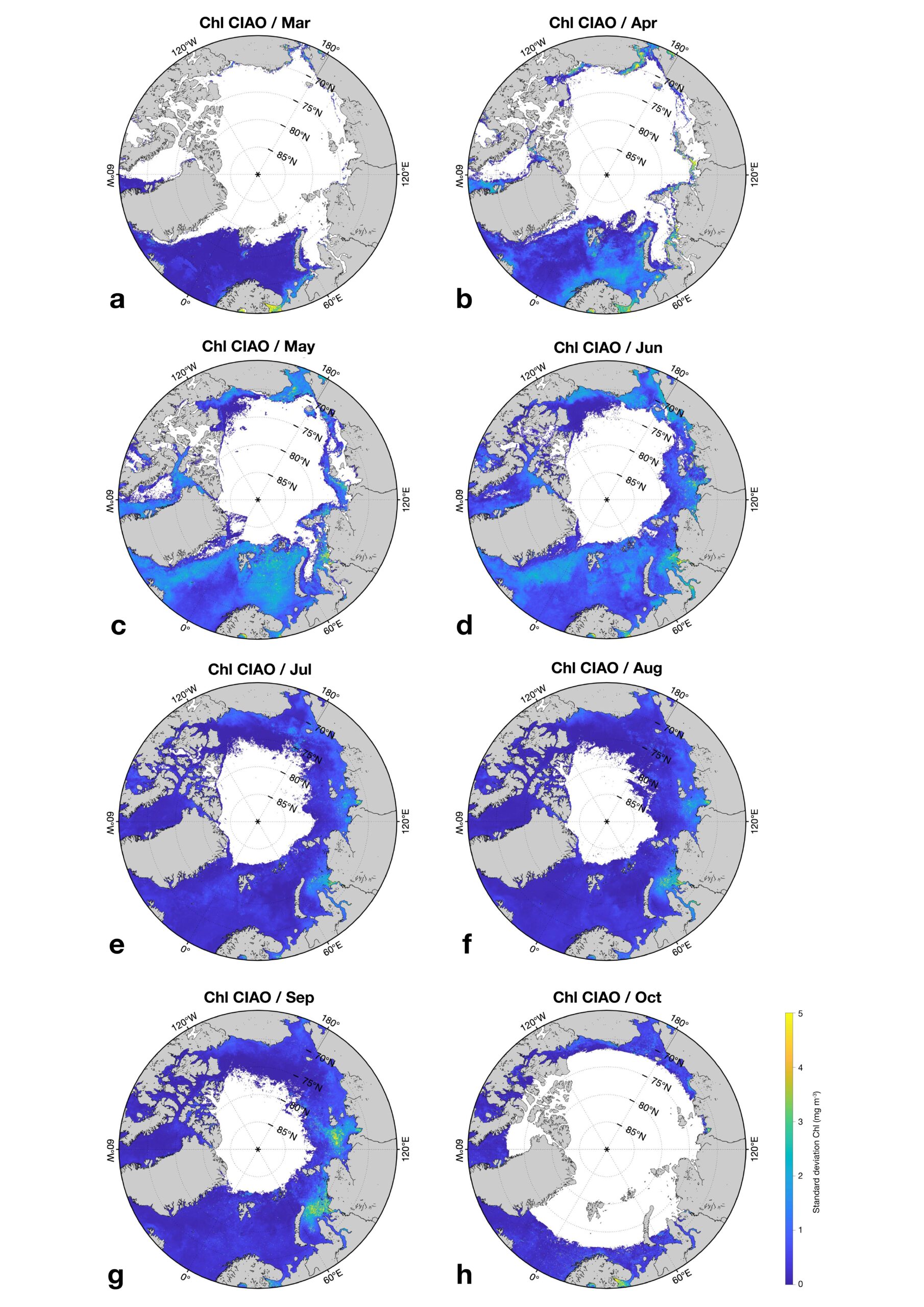
CIAO: A machine-learning algorithm for mapping Arctic Ocean Chlorophyll-a from space
A new algorithm to assess Chlorophyll-a concentration in the Arctic Ocean
Zoffoli et al. 2025
Variability of Kappaphycus alvarezii cultivation in South-Sulawesi (Indonesia) related to the monsoon shift: Water quality, growth and colour quantification
Links between wet monsoon conditions in South Sulawesi, improved Kappaphycus alvarezii growth, and higher ice-ice disease risk
Barillé et al. 2025
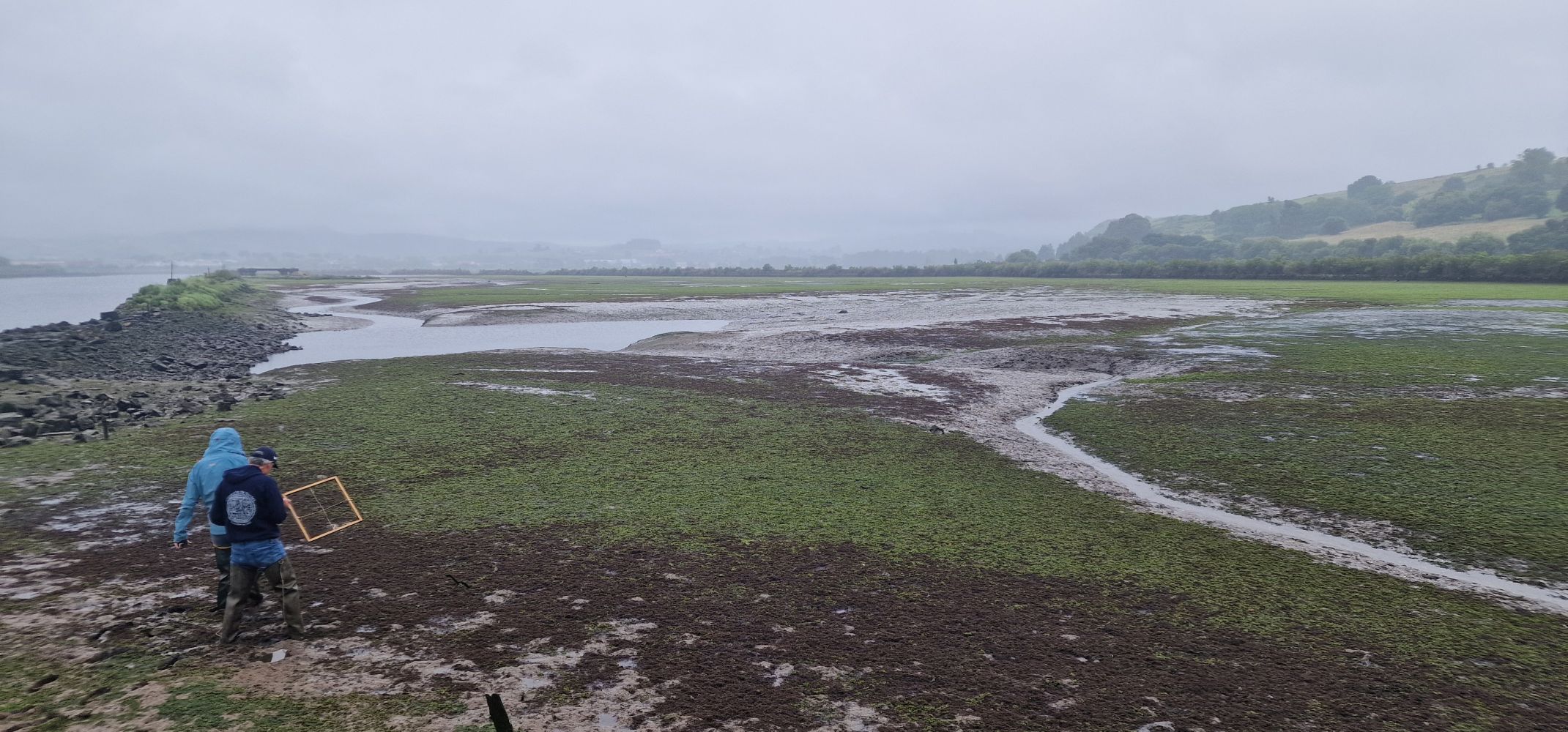
Mapping intertidal microphytobenthic biomass with very high-resolution remote sensing imagery in an estuarine system
Estimation of microphytobenthos biomass from drone remote sensing
Roman et al. 2024
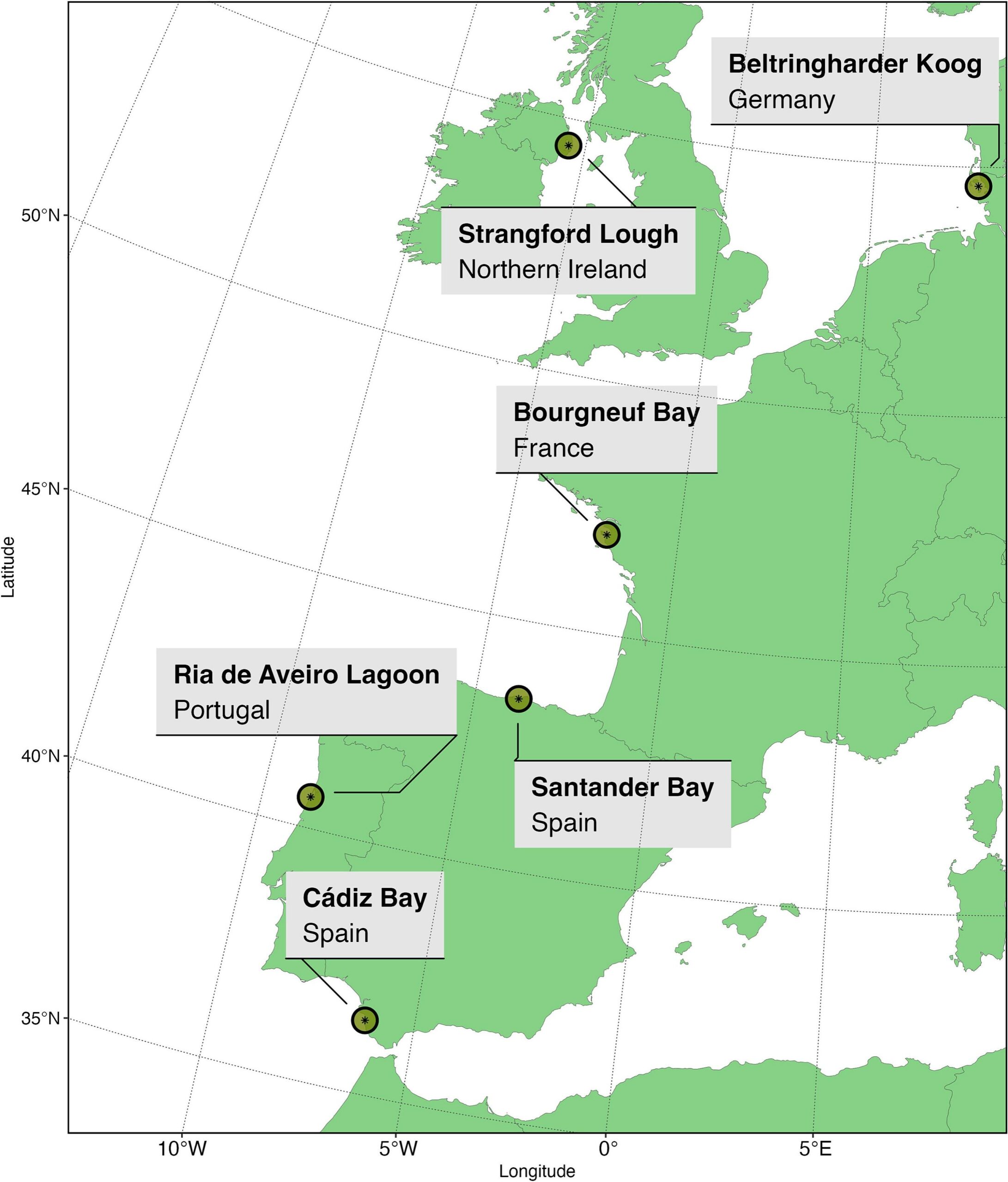
Intertidal seagrass extent from Sentinel-2 time-series show distinct trajectories in Western Europe
AI-powered satellite tracking reveals Europe’s shifting seagrass meadows!
Davies et al. 2024
A sentinel watching over inter-tidal seagrass phenology across Western Europe and North Africa
Neural network model tracks seasonal patterns of seagrass across Europe and North Africa!
Davies et al. 2024
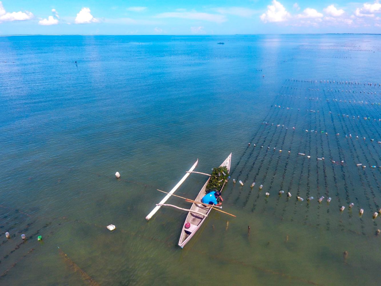
Precision aquaculture drone mapping of the spatial distribution of Kappaphycus alvareezi biomass and carrageenan
Drone-based multispectral mapping offers precise insights into Kappaphycus seaweed biomass and carrageenan production across cultivation cycles.
Nurdin et al. 2023
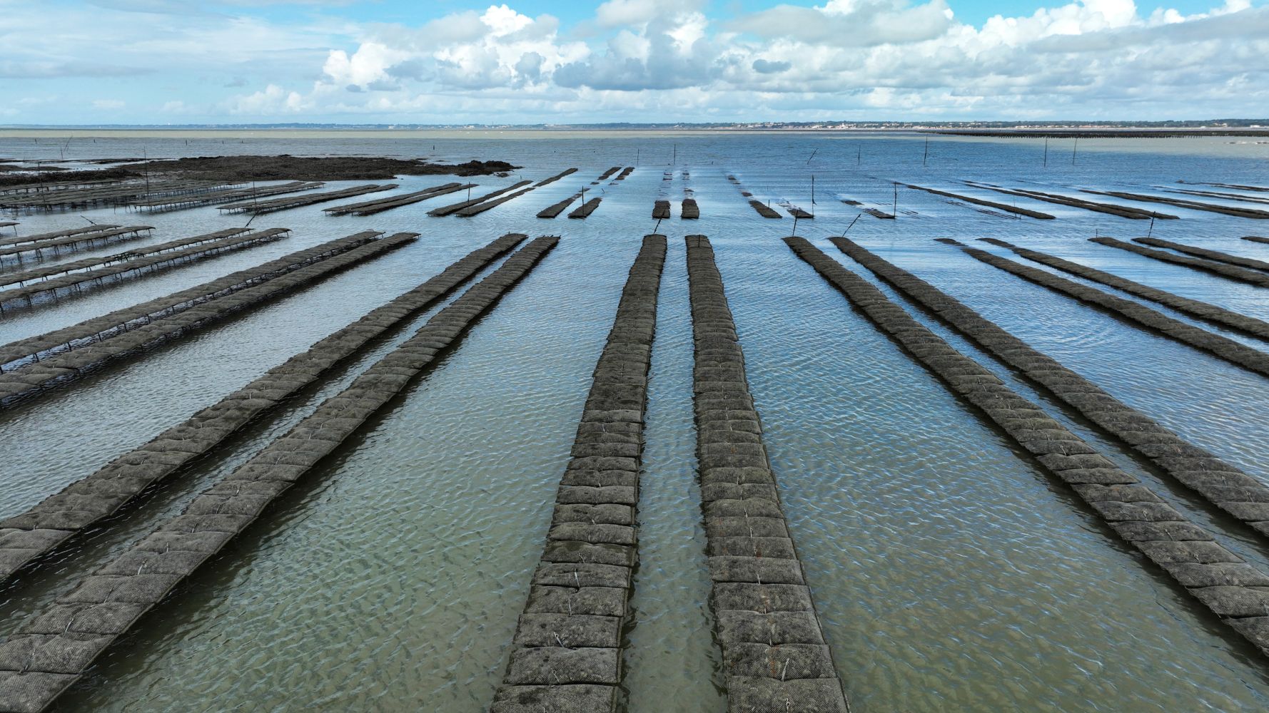
Mapping intertidal oyster farms using unmanned aerial vehicles (UAV) high-resolution multispectral data
Drone-based mapping accurately monitors intertidal oyster farms, tracking oyster table structure and mesh sizes across altitudes.
Roman et al . 2023
Multi- and hyperspectral classification of soft-bottom intertidal vegetation using a spectral library for coastal biodiversity remote sensing
Spectral classification with multispectral and hyperspectral data accurately maps intertidal vegetation types, aiding coastal biodiversity monitoring.
Davies et al. 2023